Collection Search
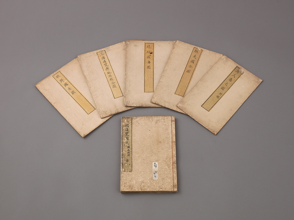
llustrated Descriptions of Three Countries
- Nationality Japan
- Quantity 6
- Era 1786
- Exhibition Place -
- Material paper
- Size(cm) 96.3×54.2
Sangoku Tsūran Zusetsu [Illustrated Descriptions of Thee Countries] is a 1786 geographical work by Japanese scholar Hayashi Shihei (林子平).
In one of the book’s maps, “The Complete ap of Thee Countries,” Joseon and Japan are distinguished by color (yellow and blue, respectively).
Ulleungdo Island and Dokdo Island are also colored in yellow, matching the color denoting Joseon,
a clear sign of recognition that these two islands were Joseon territory.
The Complet Map of Joseon also shows Dokdo Island drawn within Ulleungdo Island,
signifying that Dokdo Island is part of Ulleungdo Island.


